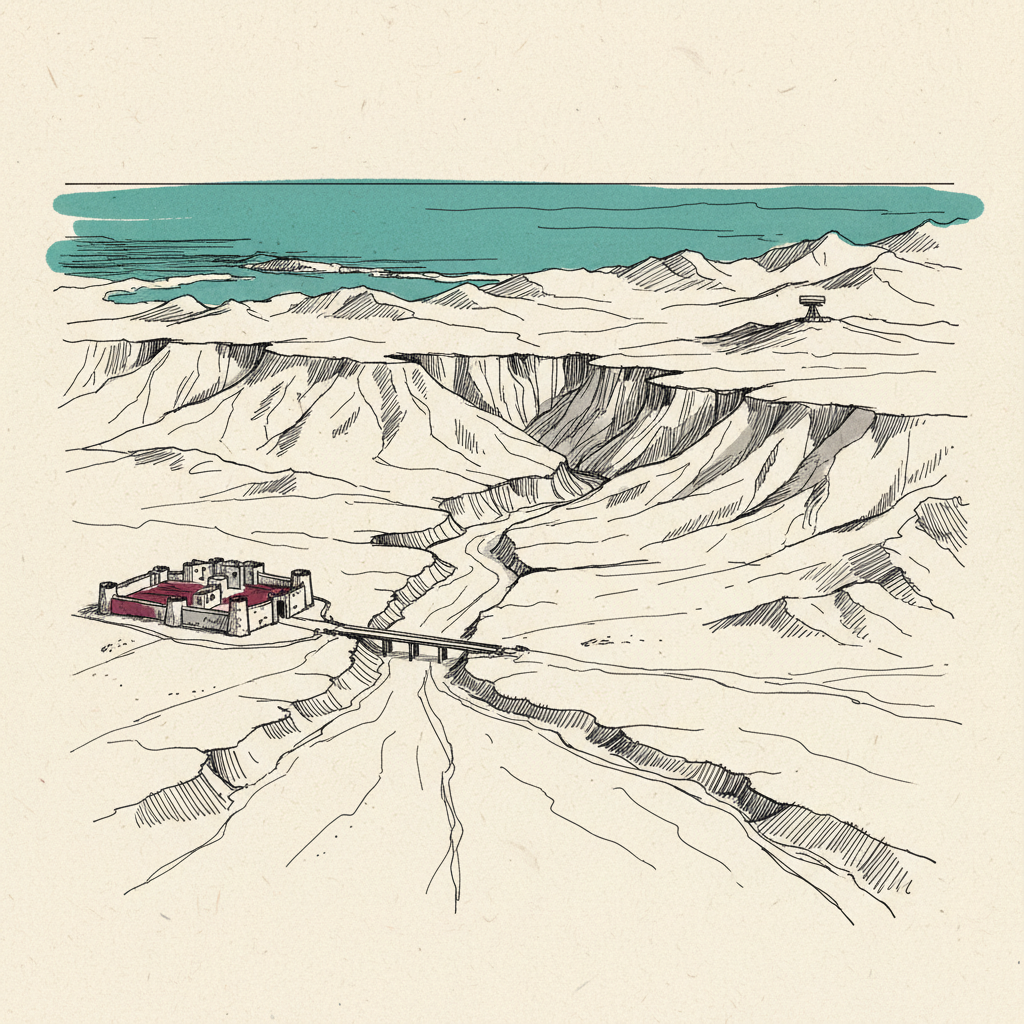
Sinai
Egyptian peninsula between the Suez Canal and Israel; strategic land bridge adjacent to the Red Sea.
The triangular Egyptian peninsula between the Suez Canal and Israel, under full Egyptian sovereignty since the 1982 Camp David settlement and patrolled by the Multinational Force and Observers, remains the region's principal land bridge between Africa and Asia.
Last refreshed: 3 August 2026 · Appears in 1 active topic
Why is Egypt refusing to allow Palestinian displacement into the Sinai, and what are the consequences?
Timeline for Sinai
Mentioned in: IDF ties pupil's death to Hezbollah bomb
Iran Conflict 2026Mentioned in: Cairo tells the press to be accurate
Iran Conflict 2026Mentioned in: Syria, Lebanon join US defence table
Iran Conflict 2026Mentioned in: Kerala Nipah quiet two weeks on
Pandemics and BiosecurityMentioned in: Rubio lands in UAE: no Hormuz tolls
Iran Conflict 2026Background
The Sinai Peninsula is the triangular landmass at the north-eastern corner of Egypt, bounded by the Suez Canal to the west, the Red Sea's Gulf of Suez to the south-west, and The Gulf of Aqaba to the south-east, with Israel and Gaza to the north-east. It is one of the most strategically sensitive territories in the Middle East: simultaneously a buffer zone, a smuggling corridor, and the principal land bridge between Africa and Asia.
Egypt regained full sovereignty over Sinai in 1982 following the 1979 Camp David peace treaty with Israel. The peninsula experienced a prolonged Islamist insurgency in North Sinai from around 2013, largely suppressed by Egyptian security forces by the mid-2020s. The Multinational Force and Observers (MFO) operates a peacekeeping mission there under the treaty's terms, monitoring both parties' compliance.
Sinai's location next to the Suez Canal and the Rafah crossing keeps it structurally entangled in any regional escalation, whether over Gaza, the Red Sea shipping lanes, or the wider Iran conflict, without the peninsula itself being a party to any of them.
Reference
Where is the Rafah crossing and why does it matter?
What is the Multinational Force and Observers in Sinai?
What country does the Sinai Peninsula belong to?
Why won't Egypt let Palestinians move to the Sinai?
Why is Sinai mentioned in the Iran-Israel war coalition planning?


Written with AI from Lowdown's published reporting. Not individually reviewed by an editor. Updated 3 August 2026. Editorial standards.