Will the Zahrani line become Israel's permanent buffer zone in Lebanon?
Timeline for Zahrani River
Trump halts Israel's strike on Beirut
Iran Conflict 2026Mentioned in: Strike outside safe zone kills toddler
Iran Conflict 2026Named as the boundary of Israel's declared seizure zone in Lebanon
Iran Conflict 2026: Katz: IDF holds all land south of LitaniLebanon: 1,029 dead, a million displaced
Iran Conflict 2026Designated a demolition zone after Katz ordered border-village destruction
Iran Conflict 2026: Katz: Gaza-model demolitions in LebanonBackground
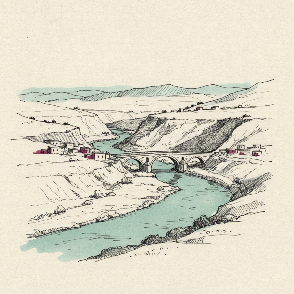
The Zahrani River flows westward through southern Lebanon into the Mediterranean near Sidon, roughly 40 km south of Beirut. It runs approximately 15 km north of the Litani River and 40 km from the Israeli border, giving its name to the Zahrani district. The river marked no military boundary before 2026; its significance is entirely a product of the current conflict.
On 16 March 2026 the Israel Defense Forces (IDF) ordered all civilians south of the Zahrani to evacuate, placing the line north of the Litani and beyond the boundary of UNSC Resolution 1701. Within days Lebanon's displacement exceeded 800,000. By late March Israel Katz had ordered Gaza-model demolitions south of the Zahrani line and declared that displaced Shia residents would not return.
The Zahrani line exposes the gap between the internationally recognised Litani boundary under Resolution 1701 and Israel's operational ambition in 2026. Setting the evacuation threshold 15 km beyond the Litani transformed a hydraulic feature into a de facto annexation marker, with the UN calling the rhetoric concerning.
What is the Zahrani River?
Why did Israel use the Zahrani River as an evacuation line?
How does the Zahrani River line compare to the Litani River boundary?
How many people were displaced by the Zahrani evacuation order?
Will Israel permanently occupy land south of the Zahrani River?

Written with AI from Lowdown's published reporting. Not individually reviewed by an editor. Updated 28 July 2026. Editorial standards.