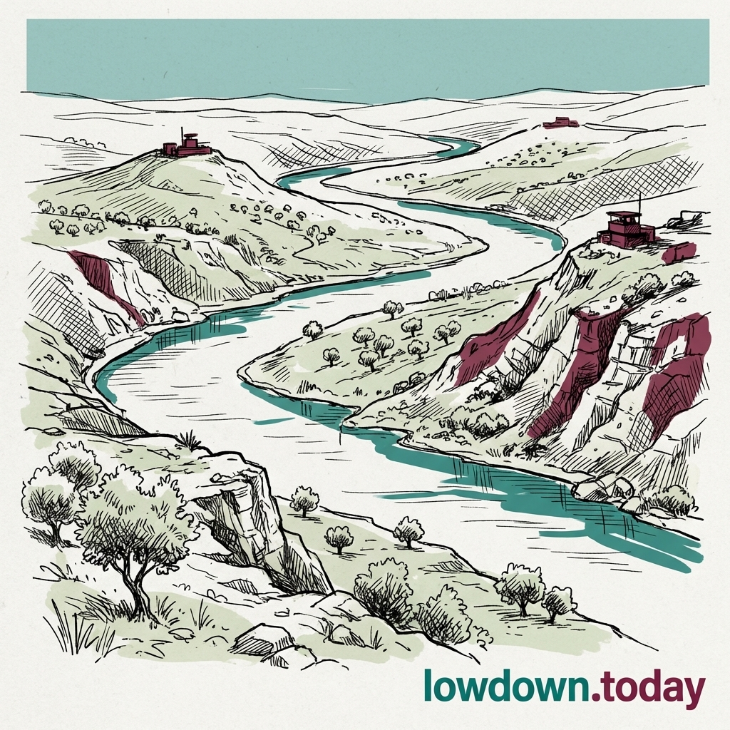
Litani
Lebanon's longest river; the UNSCR 1701 disarmament line and the boundary in Washington's Lebanon-Israel track.
On 27 June, the Litani remained the boundary in Washington's failed Lebanon-Israel framework, linking Israeli withdrawal south of the river to Hezbollah disarmament.
Last refreshed: 22 September 2026 · Appears in 1 active topic
The Washington track demands Hezbollah withdraw south of the Litani; has it ever happened?
Timeline for Litani
Mentioned in: IDF ties pupil's death to Hezbollah bomb
Iran Conflict 2026Mentioned in: Israeli drone kills four in Nabatieh
Iran Conflict 2026Mentioned in: Hezbollah kills Lebanon deal in hours
Iran Conflict 2026Mentioned in: Hezbollah kills senior IDF tank officer
Iran Conflict 2026Lebanon talks collapse, nuclear gate stays shut
Iran Conflict 2026Background
The Litani is Lebanon's longest river. It runs from the Bekaa Valley near Baalbek westwards to the Mediterranean near Tyre. Its course lies wholly within Lebanon, making it an important domestic water and power resource.
Since 1978, the river has also been a political and military reference line in southern Lebanon. United Nations Security Council Resolution 1701, adopted in 2006, treated the area south of the Litani as a zone where armed forces other than Lebanon's Army and UN peacekeepers were not to operate. In June 2026, Washington negotiations again used the river to define proposed Lebanese army deployment zones.
The Litani matters because geography, civilian access and security policy meet along its course. Its bridges, surrounding roads and terrain affect movement through southern Lebanon, while its name provides the shorthand for competing Israeli, Lebanese and Hezbollah security claims.
The Litani anchors the failed framework
On 23 June, Israel tabled maps for a model zone south of the Litani during Washington talks, while Lebanon demanded a full Israeli withdrawal. The river therefore marked the area in which diplomats tried to exchange military control for a new security arrangement.
On 27 June, the signed framework still made Israeli withdrawal conditional on Hezbollah surrendering its weapons. Hezbollah rejected the deal within hours, leaving the Litani as a disputed line rather than an agreed handover boundary.
The river crossings became targets
On 18 March, Israeli warplanes destroyed at least two bridges over the Litani, cutting southern Lebanon's remaining road links north. The crossings made the river more than a military reference line: they connected communities south of it with the rest of Lebanon.
On 22 March, the strike on Qasmiyeh Bridge severed the main coastal road north from southern Lebanon. For the Litani, the campaign turned a geographic boundary into a constraint on movement through the south.
What is the Litani River?
Why does Israel want land south of the Litani?
What is UNSCR 1701?
What is Operation Litani?
Why did Israel strike north of the Litani in April 2026?
What does Resolution 1701 say about the Litani River?
What is the Litani River and why does it matter in the Lebanon conflict?
What happened when Israel crossed the Litani in April 2026?
Why does Israel want control of land south of the Litani?
How far north of the Litani have Israeli forces pushed in 2026?
What was Operation Litani in 1978?
Does Resolution 1701 still mean anything for the Litani boundary?
What is the Litani River and why does it matter in the Lebanon-Israel conflict?
Has Hezbollah ever withdrawn south of the Litani River?
How far north of the Litani did Israeli forces advance in 2026?
What are the Lebanon-Israel Washington talks about in June 2026?


Written with AI from Lowdown's published reporting. Not individually reviewed by an editor. Updated 22 September 2026. Editorial standards.