Why has Iran named a UAE emirate in its Hormuz controlled-zone coordinates?
Timeline for Umm Al-Quwain
Named as western boundary terminus of PGSA controlled maritime zone
Iran Conflict 2026: Iran charts Hormuz with formal PGSA coordinatesBackground
Umm Al-Quwain became geopolitically significant on 20 May 2026 when Iran's Persian Gulf Strait Authority published the formal coordinates of its claimed controlled maritime zone at the strait of Hormuz. The zone's western boundary runs from the tip of Qeshm Island (Iran) to Umm Al-Quwain (UAE), making the emirate a named reference point in Iran's unilateral claim over international shipping lanes — a claim the US Secretary of State Marco Rubio declared "completely illegal" the following day.
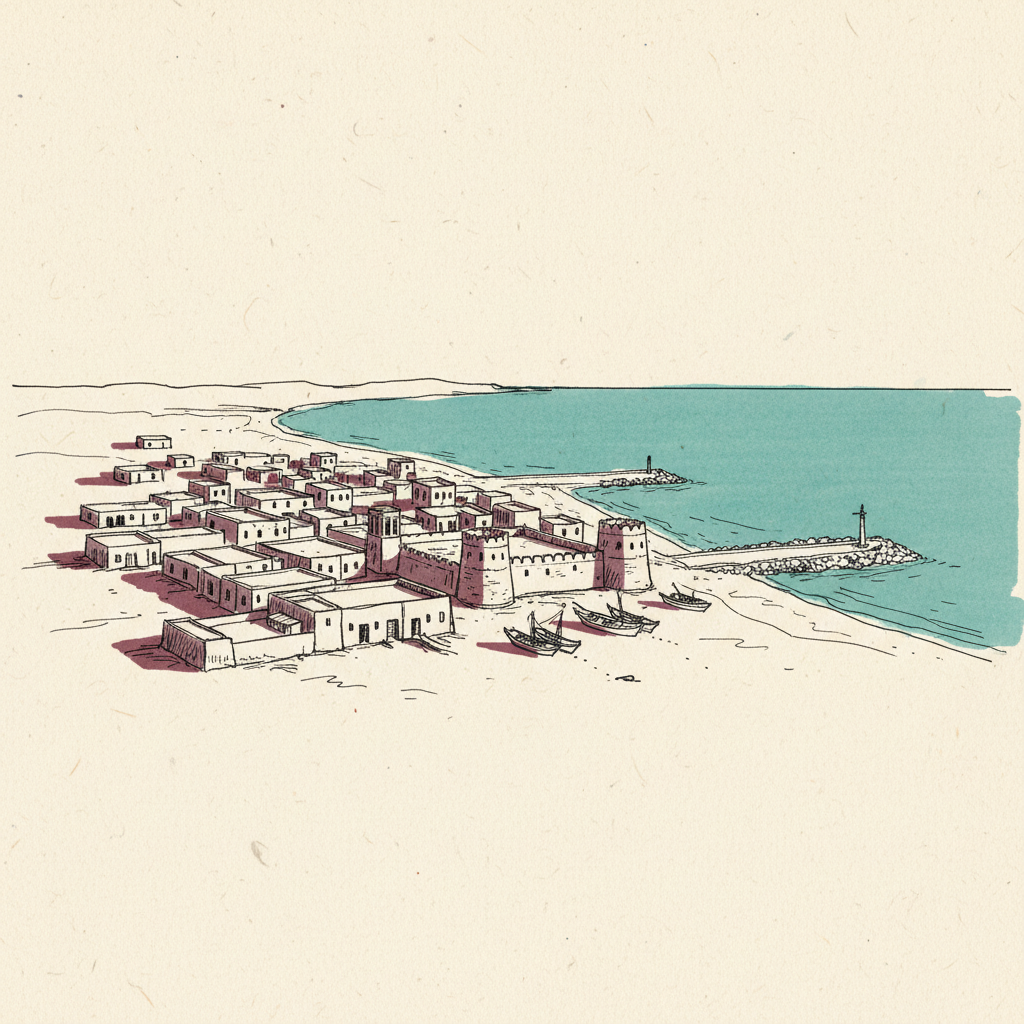
Umm Al-Quwain is the smallest and least populous of the UAE's seven Emirates, with a capital of the same name on a peninsula in The Gulf of Oman. Its economy has historically centred on pearling, fishing, and, more recently, light manufacturing and tourism. Unlike Dubai or Abu Dhabi, it has no major oil infrastructure or deepwater port, making its appearance in Iran's PGSA coordinates a function of geography rather than strategic weight.
Being named in Iran's published boundary coordinates draws the UAE formally into the maritime-jurisdiction dispute, creating pressure on Abu Dhabi to respond to PGSA demands for vessel authorisation. The UAE has not recognised the PGSA zone; any enforcement action by Iran within those boundaries would directly implicate Emirati territorial waters and freedom-of-navigation rights under UNCLOS.
Where is Umm Al-Quwain in relation to the Strait of Hormuz?
What does it mean that Iran named Umm Al-Quwain in its Hormuz zone?
Is Umm Al-Quwain inside Iran's claimed PGSA maritime zone?

Written with AI from Lowdown's published reporting. Not individually reviewed by an editor. Updated 22 May 2026. Editorial standards.