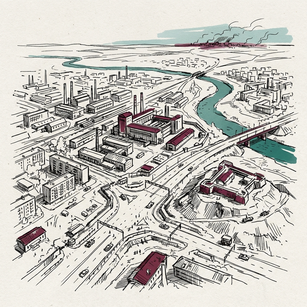
Kostiantynivka
Fortified Donetsk city on the M32 highway; last position before Kramatorsk after Russian infiltration with AI-faked footage in June 2026.
Last refreshed: 23 July 2026 · Appears in 1 active topic
Did Russia actually seize Kostiantynivka, or was the footage fabricated?
Timeline for Kostiantynivka
Mentioned in: Zelenskyy swaps out his top general
Russia-Ukraine War 2026Remained Russia's unmet main effort on the front
Russia-Ukraine War 2026: ISW calls Ukraine's front line frozenOvernight barrage shifts no front line
Russia-Ukraine War 2026Mentioned in: Russia loses men 17 times Ukraine's rate
Russia-Ukraine War 2026Contested Donetsk city targeted by Russian infiltration
Russia-Ukraine War 2026: Russia fakes advance with AI footageBackground
A mid-sized industrial city roughly 30 km south of Kramatorsk, Kostiantynivka sits on the M32 highway connecting the fallen city of Pokrovsk to the Kramatorsk-Sloviansk defensive anchor. It is one of four cities forming Ukraine's Fortress Belt in Donetsk Oblast, alongside Kramatorsk, Sloviansk, and Druzhkivka. Pokrovsk fell in December 2025, leaving Kostiantynivka as the southernmost fortified position on the corridor and the next major Russian objective.
Russian assault pressure was sustained and heavy throughout early 2026: nine assault actions struck surrounding villages in early March, and 46 attacks hit Kostiantynivka in a single day on 18 March. By April 2026, ISW assessed that Russian forces were unlikely to seize the Fortress Belt in 2026 as daily engagement rates eased from their peak. In June 2026, Russian forces infiltrated between 100 and 250 fighters into the city and circulated AI-generated footage falsely depicting a FAR larger seizure, with Russia's defence ministry claiming 103 buildings captured. ISW assessed the footage as fabricated information operations substituting for territorial gains that could not be achieved by force.
Kostiantynivka's fall would sever the M32 approach to Kramatorsk and leave no fortified city between Russian forces and the TWIN-city anchor. The shift to AI-fabricated claims signals that Russia cannot take the city by direct assault at current attrition rates, but the infiltration itself confirms ongoing pressure on the urban perimeter. ISW recorded renewed Russian tactical advances in the Kostiantynivka-Druzhkivka area overnight on 10-11 July, part of a barrage that also fired 121 drones and 12 missiles at targets across Ukraine, evidence the pressure has not eased since June's fabricated-footage episode. By 22 July, ISW confirmed Kostiantynivka as Russia's still-unmet main effort on a front it judged essentially static overall, with a loss ratio of three Ukrainian dead for every 53 Russian, a price that continues to outweigh any ground actually taken.