Ras Madrakah
Omani coastal point where the Caroline Bezengi oil slick has reached a 40km strip.
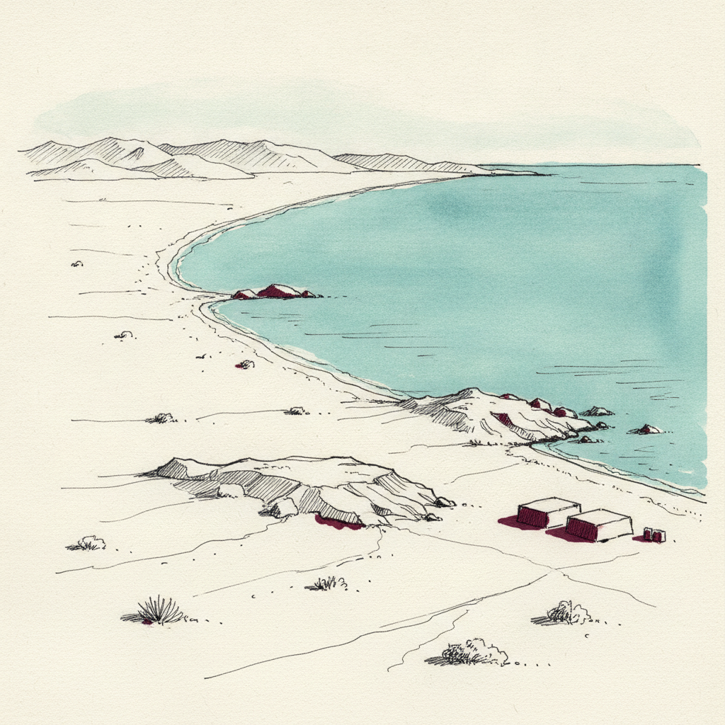
Ras Madrakah is a headland on Oman's Arabian Sea coast. Oil covered a 40km strip of its shoreline by 13 August 2026, the first confirmed landfall from a tanker that ran aground in June.
Last refreshed: 14 August 2026 · Appears in 1 active topic
How far has the Caroline Bezengi oil spill spread along Oman's coast?
Timeline for Ras Madrakah
Mentioned in: Caroline Bezengi fouls 40km of Oman
Iran Conflict 2026Background
Ras Madrakah is a headland on Oman's Arabian Sea coast, south of Masirah Island and its turtle-nesting beaches. By 13 August 2026 oil had reached a 40km strip of its coastline, the point where a June tanker grounding first came ashore in Oman.
The source is Caroline Bezengi, a sanctioned vessel that spilled roughly 800,000 barrels of Russian crude after running aground off Qibliyyah Island. From Ras Madrakah the slick is expected to spread further north to Masirah Island, and monsoon weather is slowing the international clean-up response along this stretch of coast.
As the point of first confirmed landfall, Ras Madrakah has become the reference marker outside monitors use when describing how FAR the spill has travelled, even as their overall size estimates for it remain unreconciled.
Where is Ras Madrakah?
How much of Oman's coast has the oil spill reached?
What ship caused the Oman oil spill?